
PREPAREDNESS
COMMUNITY READINESS
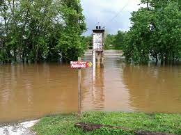
RESPONSE

RECOVERY
Mitigation
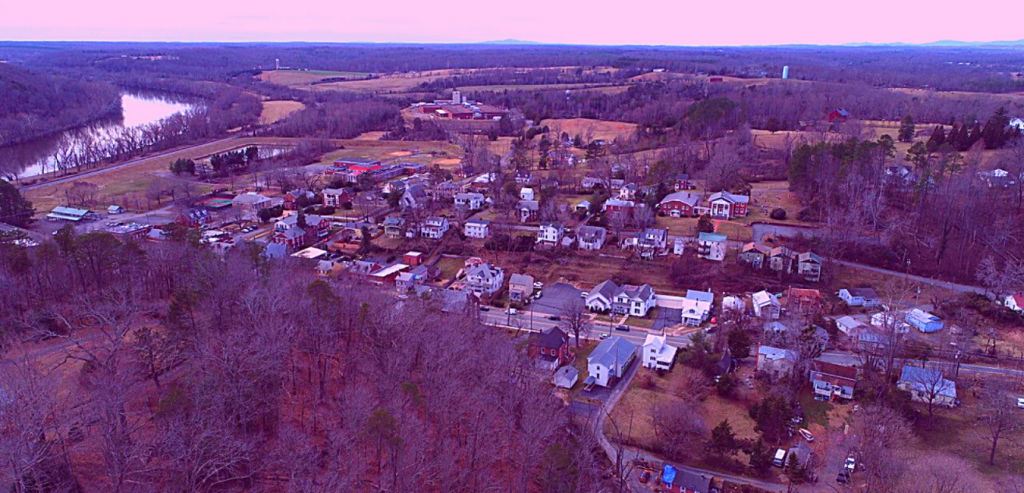
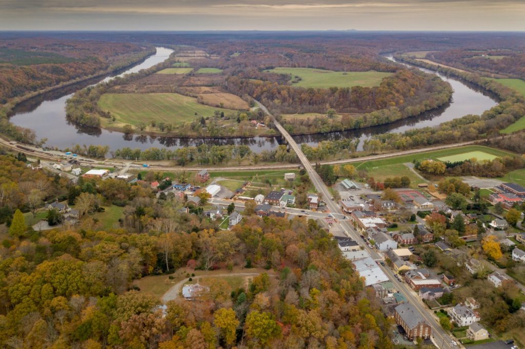
Welcome to Scottsville Task Force 17 Website we hope that you will find information needed to help you and your family prepared for the next storm. The Scottsville Taskforce 17 was established on July 28,2021 after severe weather hit southern albemarle county and causing damage . We are located in Southern Albemarle County alongside the James River. We are an all-volunteer department with over 13 volunteer members. We our coverage area is approximately 300 square miles and over 10,000 residents. Our main service area is Southern Albemarle County with first due areas in Buckingham and Fluvanna Counties.
Situation Reports